Having a year-long pass, we went and hiked the Billy Goat Trail again at Great Falls Park, Maryland (see our previous hike
here). This time, half of us did not bail out at the half way point. But more on that later.
We took the C&O Canal Towpath down to the trailhead, with some nice views of the Potomac and some sad views of the mostly dry part of the canal.
 |
| Potomac River by Great Falls |
 |
| The canal has seen better days |
 |
| More Potomac glory |
 |
| A more peaceful bit of the river |
 |
| Starting up the trailhead |
We took a group selfie though only three-quarters of the group participated.
 |
| Two-thirds wear hats |
 |
| Sad at missing the selfie? Probably not! |
The river still has fascinating views all along the trail.
 |
| Does anyone ever make it to the island? |
We tried out some walking sticks that a friend sent us. They are collapsible, so they can be stowed for climbing parts of the trail. We found them useful.
 |
| Where's the next trail blaze? |
 |
| Rock climbers on the Virginia side |
 |
| Climber close-up |
I don't remember seeing this sign the last time we hiked. It's fairly honest, though since COVID the trail is supposed to be one-way. I remember twenty years ago hiking the trail backward once just for a bit of variety.
 |
| Discouraging news? |
 |
| A green part of the river |
 |
| "Does it match my hoodie?" |
 |
| Beaches in Virginia in the distance |
 |
| More green water |
I took the high road at one point, letting me get this nice shot of the family.
 |
| Following the proper trail |
We hit the ascent again, the scramble up a steep rock face. It seemed harder than last time. I still think it is easier going up than going down. The ascent has you looking at the rocks ahead. The descent has you looking down at how far you could fall!
 |
| Going up? |
 |
| A view from the top |
We made it to the bail-out trail where Mom and our youngest headed back over to the Tow Path. They'd wait by the Great Falls Inn, which was a public house on the canal but is now a small museum.
 |
| Bye! |
My daughter and I continued down the trail, eventually discovering beaches on the Maryland side of the Potomac.
 |
| Too bad we didn't wear swim suits! |
 |
| Not very beach-like |
 |
| A beach with way too many rocks |
The trail eventually took us inland crossing one of the tributaries to the Potomac.
 |
| Unnamed waterway |
 |
| Unnamed bridge over unnamed waterway |
 |
| Another nice view downstream |
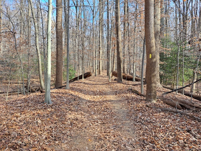
The trail made a hard left, leading us up some dirt paths and short climbs back to the Tow Path.
 |
| Worst staircase ever |
 |
| Signs of civilization! |
The canal has a lot more water down at this point.
 |
| Navigable waters |
 |
| Canal lock |
 |
| Canal lock with house (but not with water) |
 |
| Rough Potomac waters |
We made it back to the Inn. The rest of the family was waiting on the back porch. They had listened to a bit of a music group that was playing (we visited on a Saturday, so more things going on than on a weekday). The kids were tired out so we headed home.
 |
| Great Falls Inn |
Actually, it probably isn't a small museum. We'll have to go inside one of these times.